
Walk a Monongalia Street Directory
An address search works best as a chain. The Monongalia County Assessor identifies the assessed owner and parcel, while the County Clerk records the deed that supports a transfer. Neither source is a full list of occupants. Voter records and dated directories can add residence clues, but each has limits. Begin with the exact postal form, preserve alternate spellings, and record the date on every result. The street directory becomes more reliable when owner, registrant, taxpayer, and occupant are kept as separate labels.
- Confirm the delivery form through the USPS address lookup. Note the number, directional, suffix, mailing city, and ZIP.
- Search the county assessor by street and city. Save the district, map, parcel, owner, map card, sale fields, and current or history setting.
- Open the same place in the WV Parcel Viewer. Click nearby parcels and copy physical addresses from parcel details.
- Use the owner name, book and page, legal description, and date in the County Clerk electronic index.
- Compare lawful voter information and dated directories. Ask the Aull Center about any reverse or criss-cross volume for the needed year.
This order prevents a common mistake. A mailing address can point to a parcel, yet the taxpayer or owner may live elsewhere. Apartment residents, family members, and other occupants may not appear on a deed or map card. A street-by-street result should say which source supplied each name and when that source was current.
Monongalia Address Search Fields
The Monongalia County parcel database accepts several routes into the same assessment record. Search instructions recommend partial, case-insensitive owner names and warn that results stop at 1,300. For a whole street, start with Street Name and City. For one lot, district, map, and parcel fields are more exact. The current/history control matters because a former parcel entry can otherwise be missed.
| Search control | Best use | What to preserve |
|---|---|---|
| Street Name and City | Browse matching address records | Exact spelling and mailing-city form |
| Last Name and first initial | Narrow a known owner | Name form used by the roll |
| District, Map, Parcel | Identify one tax parcel | All parcel components |
| Current or History | Separate present from prior entries | Selected mode and access date |
| Sale and deed fields | Bridge into recorded instruments | Date, deed type, book/page clues |
The roll is assessment data, not final proof of title or occupancy. Reconcile its deed clues with the clerk. When a search fails, call the Assessor at 304-291-7222 or use the office at 243 High Street, Room 335, during the researched weekday office hours.
The statewide assessment search provides another official route when the county form is unavailable.
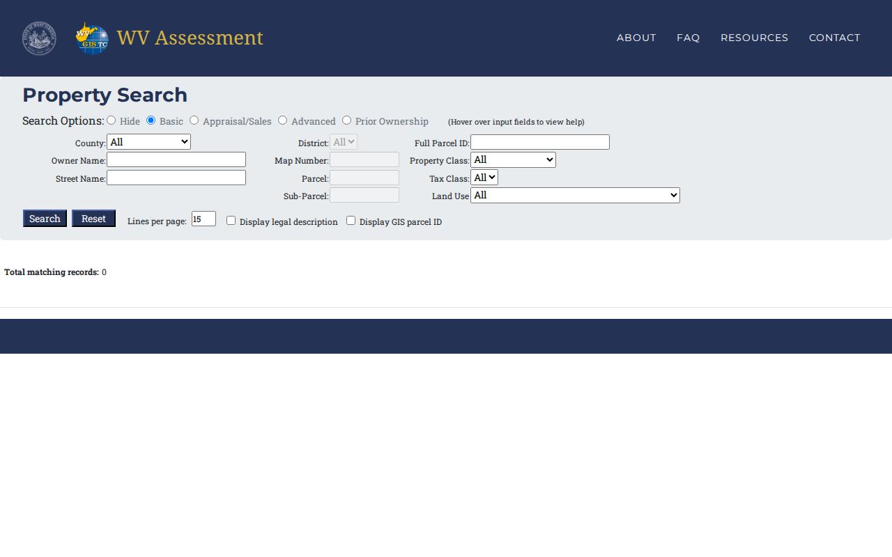
The captured state form supports address and ownership checks, but Monongalia County remains the custodian of its assessment details.
Map Monongalia Streets by Parcel
The statewide viewer supplies the spatial part of the street directory. It can search an E-911 address, owner name, or county/district/map/parcel combination. Details include a root parcel ID, current owner, physical address, building information, appraised values, flood indicator, and printable map or report options. Results are capped at 500 and the statewide layer updates annually, so the local assessor remains the authority for assessment questions.
The mobile WV Parcel Viewer is shown in the successful project capture below. It is useful when walking a block or checking a rural route whose postal address does not resolve cleanly.
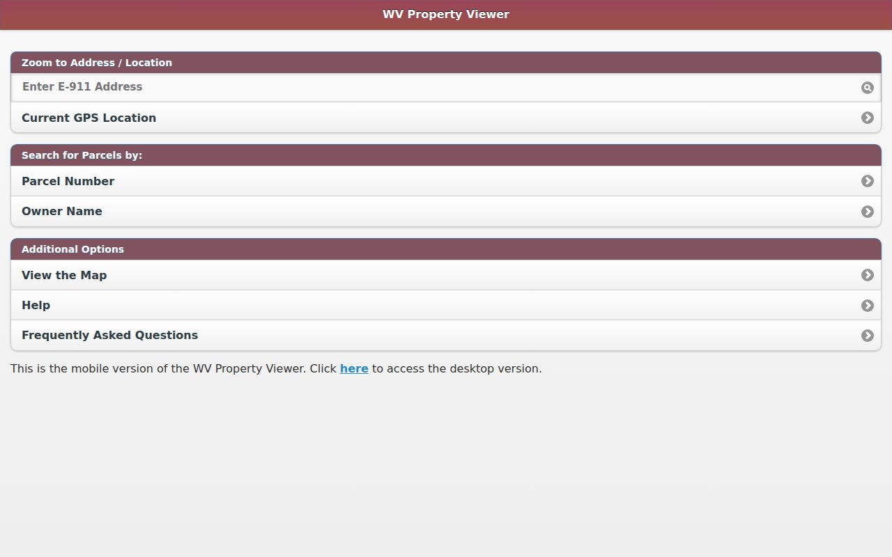
Parcel outlines help locate adjacent lots, roads, flood layers, and address points. They are tax-map graphics, not a legal boundary survey, and should never replace a deed, plat, or field survey.
Within Morgantown, the city GeoHub adds ward, zoning, infrastructure, and municipal data context. Its 2024 expansion and Cityworks rollout mean old screenshots or permit links may age quickly. Contact city GIS at 304-284-7405 when a layer needs explanation.
Monongalia Street Records by Address
No single county roll is a complete household list. A useful Monongalia County street directory joins address-keyed sources while respecting their distinct roles. The parcel number is the strongest bridge among assessment, tax, map, and recorded land records. Street text is more useful for postal checks, voter residence, city records, and historical volumes.
| Record Set | Keeper | What It Shows | Access |
|---|---|---|---|
| Assessment and map card | Monongalia County Assessor | Assessed owner, physical address, parcel and sale clues | Online, phone, or Room 335 |
| Parcel map | WV GIS Technical Center | Lots, nearby parcels, address and flood layers | Free web and mobile viewers |
| Deeds, plats and liens | Monongalia County Clerk | Named parties, instruments, book/page and legal descriptions | Electronic index or Room 123 |
| Tax tickets | County tax inquiry | Taxpayer, account, ticket and parcel cross-check | Online or Room 300 |
| Voter records | County Clerk and WV Secretary of State | Public name, residence, party and status fields | Official lookup or lawful inspection |
| City maps and permit records | City of Morgantown | Ward, zoning, public work and permit context | GeoHub, Form Center, or records request |
There is no verified public permit-results index for Morgantown. Use the city Form Center, then request building or code records from the proper city custodian. The West Virginia Freedom of Information Act provides a specific-request route and a five-day response framework, but it does not override exemptions.
Deeds Along Monongalia Streets
The clerk portal offers Index Search, Image Search, and Vault Indexes Search. In the deed category, work with grantor and grantee roles, a From/Thru range, Starts With, Exact Name Filter, and document choices. Results display date, document, book/page, party name, cross date, instrument, and related status fields. They can be selected, cleared of duplicates, and exported to PDF or Excel. The live electronic start year was not stated, so it should not be guessed.
The County Clerk capture shows the search surface used to move from an assessed owner to recorded instruments.
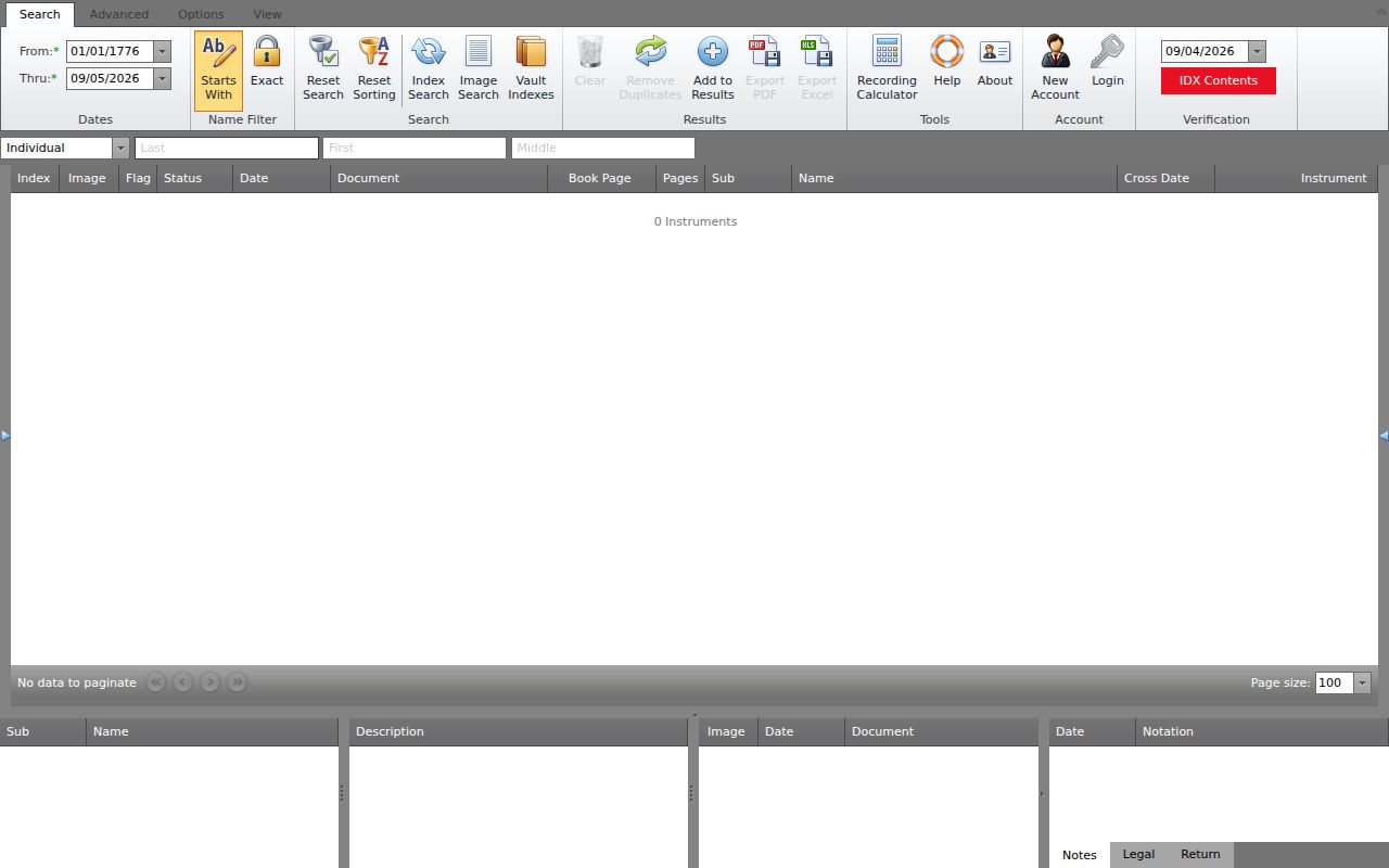
Save the instrument number, date, book/page, grantor, grantee, document type, and legal description. Then follow referenced deeds, releases, easements, plats, and assignments. Images may load slowly; current browsers are recommended. For copies or index help, contact the Monongalia County Clerk at 304-291-7230 or visit Courthouse Room 123.
Browse Monongalia Tax Parcels
The Monongalia County Internet Tax Inquiry is a useful cross-check after the parcel has been identified. It accepts taxpayer name, account, year or ticket, district, map, parcel, and sub-parcel. Its help notes that a partial taxpayer name can broaden results. The basic search focuses on unpaid tickets, while the all-ticket route is needed when a paid historical ticket matters.
District, map, and parcel fields can also browse nearby property records along a street. Keep that browse within the same district and map so similarly named roads do not get mixed. A tax ticket identifies a taxpayer and charge for a given year. It does not prove who slept at the property, who held title on every day of that year, or whether the taxpayer's mailing address was the parcel's physical address.
Use tax data to resolve conflicts, not to create a stand-alone resident list. If the ticket and assessor disagree, compare their tax years and update dates, then return to the recorded deed. Questions can go to the county tax office at Courthouse Room 300 or 304-291-7244. This extra step is especially helpful where an owner name is common or a large tract has been split into several lots.
Save the ticket year and account reference with the parcel notes so another researcher can repeat the same street search.
Terms in a Street Directory
Address records use words that sound alike but mean different things. Keeping these terms straight prevents a street search from turning a tax-map clue into an unsupported resident claim.
- Parcel
- A tract represented in the assessment system by county, district, map, parcel, and related identifiers.
- Situs address
- The physical location assigned to property, which can differ from the owner's mailing address.
- Plat
- A recorded drawing that shows lots, roads, dimensions, or subdivision layout.
- Criss-cross directory
- A directory arranged by street or telephone number instead of by surname.
No complete Monongalia County criss-cross shelf was verified online. Ask the Aull Center or WVU's West Virginia & Regional History Center about the target year rather than claiming a complete run.
A rural route or post-office box needs a different entry path. Switch from address mode to owner, parcel, district/map, or visual map browsing. USPS labels follow delivery routes and can differ from county lines, Morgantown city limits, wards, and tax districts. The correct label helps route mail, but it does not establish ownership or residence.
Voter Clues on Monongalia Streets
West Virginia law permits inspection of voter name, residence address, party affiliation, and status. It excludes phone numbers, email addresses, Social Security numbers, and driver-license data. The law also bars use for solicitation, advertising, sale, or resale. The official voter-status interface did not expose its exact search fields during research, so no unverified form instructions belong in the street directory.
Use the Secretary of State voter lookup for an individual status check and the County Clerk election office for lawful access questions. A voter address is a dated registration record. It does not prove parcel ownership, every household member, or present occupancy.
Note: Record the lookup date and source, since voter status and address information can change after a move or registration update.
Old Monongalia Street Numbers
No official date for a county or Morgantown-wide renumbering or annexation was found. That gap matters. Never convert an old house number to a modern one without evidence. Use the legal description, cross street, building footprint, adjacent owners, and city ordinance journals as stable links. Morgantown city directories document a 1901 through 1982 run, while Sanborn map years include 1899, 1904, 1906, 1911, 1921, and 1927.
The Morgantown Municipal Records include council journals from 1838 through 2013, ordinance books from 1905 through 2013, and city deed books from 1916 through 2013. A street name, sidewalk job, utility project, or city agreement may explain an address change that a private deed does not. The full historical collection method belongs with the Monongalia County city directories.
Limits of a Monongalia Street Directory
A street directory cannot produce a complete or current roll of everyone inside a home. Deeds identify parties to land instruments. Assessments identify an owner or taxpayer associated with a parcel. Voter data covers registered voters and omits protected fields. Old directories may leave out young people, boarders, or others, and their publication date does not prove exact move dates. Utility customer data and motor-vehicle address files are not open household lists.
The Address Confidentiality Program allows qualifying victims to use a substitute address for voting, mail, motor vehicles, and school matters. A displayed address must never be treated as a hidden residential location or used to defeat that protection. Confirm records with their custodian and accept that some facts are lawfully withheld.
Lawful use. Use Monongalia County address records for lawful personal research. Never use a street search to stalk, harass, intimidate, or harm anyone.