
Monongalia Previous Resident Sources
The best starting source depends on the period and whether the goal is ownership or occupancy. Current parcel tools create the bridge into the latest deed. Archival indexes carry that ownership chain further back. Directories and census schedules add household clues. Each entry should retain its own date, repository, and wording so later researchers can judge what it truly shows.
| Source | Years It Covers | Where Held | What It Shows |
|---|---|---|---|
| County electronic deed index | Live coverage start not stated | Monongalia County Clerk portal | Parties, dates, instruments and book/page |
| Archived deed index | 1776-1935 | WV State Archives inventory | Earlier grantor and grantee references |
| Morgantown city directories | 1901-1982 documented | Aull Center and WVU research sources | Resident, address and occupation snapshots |
| Federal census resources | 1810-1930 at WVRHC | WVRHC microfilm and Soundex | Household composition and neighbor sequence |
| Sanborn maps | 1899 through selected 1927 editions | Library of Congress and WVU | Building footprint, use and intersections |
| Municipal records | 1838-2013 across series | WVU WVRHC | Ordinances, utilities, sidewalks, leases and deeds |
Use the current parcel and clerk index first for a recent owner. Move to archive microfilm when an older book/page falls outside the electronic system. For an occupant who did not own the property, begin with a dated directory, census, newspaper, or yearbook clue and then use deeds only to explain the building's ownership.
Monongalia County formed in 1776, so repository chronology is part of the method. A very old trail may move from land entry or survey to deed index, court and probate, census and tax, then a directory or newspaper. Gaps are normal. State Archives and WVRHC descriptions identify what survives, while the County Clerk remains the source for current recorded-document help.
Start With Today’s Monongalia Parcel
Search the WV Parcel Viewer by E-911 address, owner, or parcel number. Save the parcel root, current owner, physical address, district, map, parcel, neighboring lots, and flood or address layers. The statewide map caps results at 500 and updates annually. Its parcel lines are tax graphics, not surveyed legal boundaries.
Next, open the county assessor database. Check both current and history modes, then copy map-card and transfer clues. The assessor recommends partial, case-insensitive names and caps results at 1,300. A deed transfer may take time to reach the assessment roll, so differences between the two are a reason to check dates, not a reason to erase one record.
Note: Preserve the exact parcel identifiers before searching old records because a street number alone may not survive a split, merger, or postal change.
Trace Monongalia Past Owners Backward
The Monongalia County Clerk electronic records index is the working hub for deeds, deeds of trust, releases, easements, plats, liens, estates, wills, and related instruments. Its Index Search supports grantor and grantee roles, date ranges, starts-with and exact-name controls, document categories, duplicate removal, and PDF or Excel export. Search both party roles and vary initials because one fixed spelling can miss part of the chain.
- Copy the current assessed owner, parcel root, deed clue, map card, and physical address.
- Find that owner's purchase deed. Save its instrument, date, book/page, legal description, grantor, and grantee.
- Search the seller as a grantee to locate an earlier purchase. Test surname, first initial, and alternative initials.
- Follow every referenced prior deed, release, assignment, easement, plat, estate, or trustee instrument.
- When the electronic trail stops, use the archived deed index and deed books, then preserve the reel and page citation.
- Grantor and grantee
- The grantor transfers an interest; the grantee receives it.
- Chain of title
- The linked sequence of recorded transfers for a tract.
- Legal description
- The deed's formal land description, often more stable than a postal street number.
A deed proves a recorded legal transaction, not that every named party occupied the house. A trustee, lender, corporation, estate representative, utility, or judgment creditor may appear without ever living there. Label such parties by role.
If a transfer enters an estate, trustee, or business name, branch before continuing backward. Search the clerk's estate category for the deceased party and fiduciary. A business entity can be checked through the Secretary of State. Once the party's role is clear, return to the referenced land instrument instead of treating the organization as a household.
Monongalia’s Deep Deed Archive
The live portal does not state its earliest complete year. Historic coverage must therefore come from repository finding aids. The WV State Archives Monongalia inventory lists deed indexes from 1776 through 1935, deeds from 1789 through 1900, trust-deed grantor indexes from 1800 through 1933, surveys from 1781 through 1862, and estate records from 1824 through 1927.
The successful capture below represents the Monongalia Historical Records Survey. Its reels add land entries, early land books, unpatented claims, county inventories, cemetery material, wills, estate records, and order books.
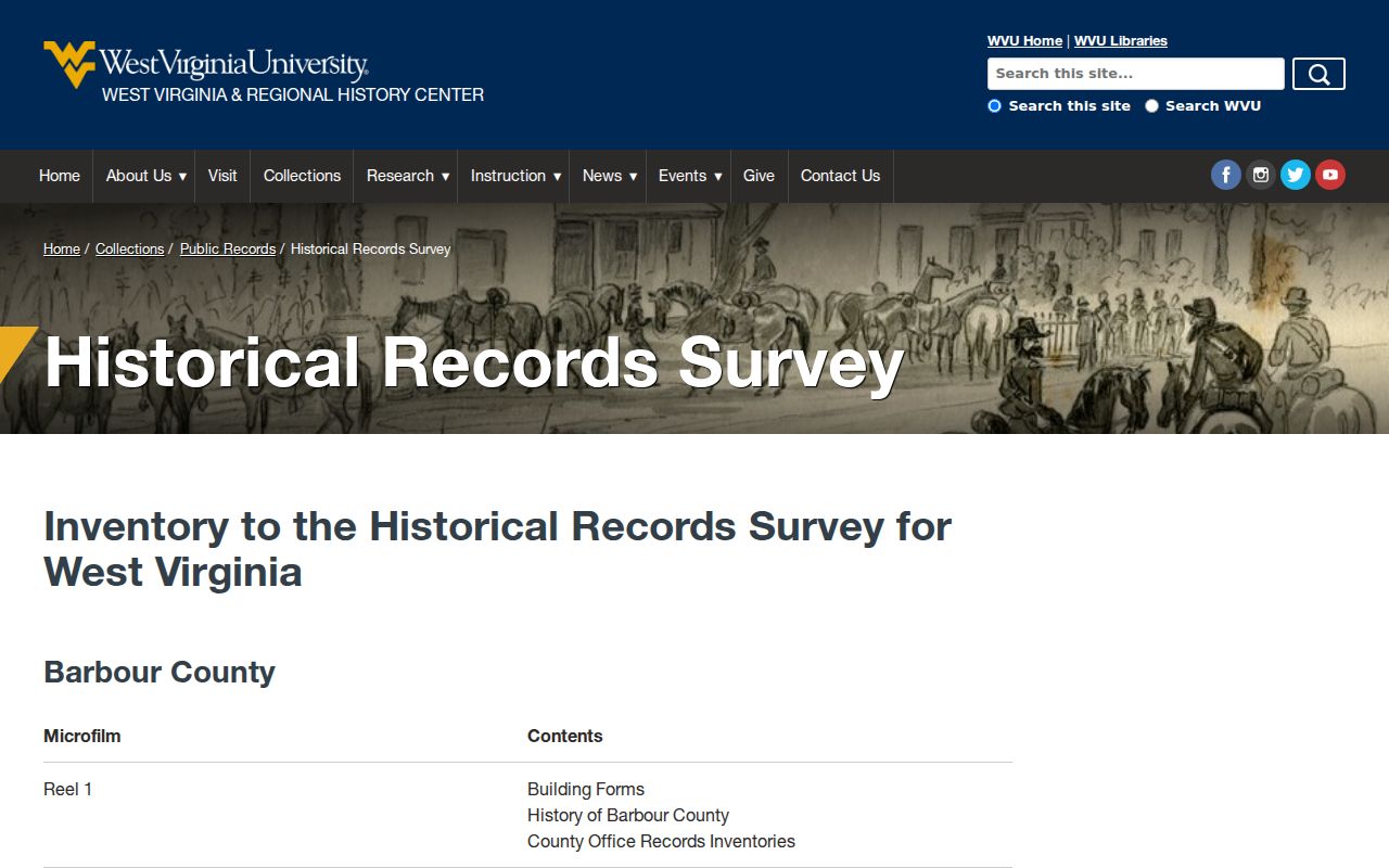
A finding aid does not mean every volume is online. Ask the archive about reel access or copies. Record the collection, series, reel, image or page, date, title, and repository so the result can be found again.
Map Past Monongalia Addresses
Sanborn fire-insurance maps can establish that a structure or street existed in a given map year. Morgantown coverage includes an 1899 Library of Congress set and selected editions from 1904, 1906, 1911, 1921, and 1927. The 1921 WVU material also includes Granville, Riverside, Star City, Sturgiss City, and Westover. Sheets show building footprint, materials, use, stories, street width, fire features, and nearby businesses.
A map does not name every prior resident. Pair the footprint and intersection with a directory entry, deed description, census sequence, or newspaper item. The WVU Pietro and Greenmont example demonstrates this exact combination of city directory, Sanborn map, and building history.
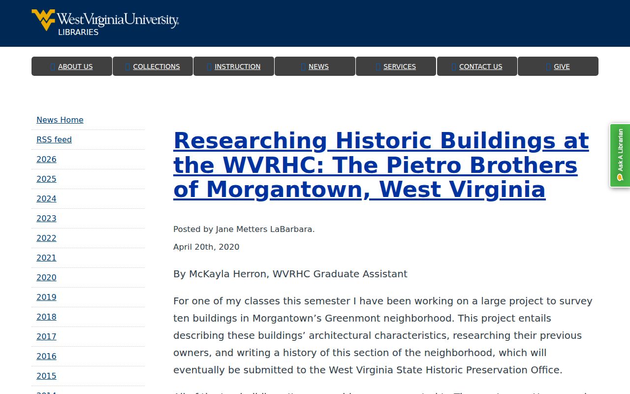
The example is a method, not proof about another address. Preserve the sheet number and nearby fixed features before comparing it with a modern parcel.
Older photographs and artifacts may add context at the Morgantown History Museum, but collection access is item-specific. Visual resemblance alone is weak evidence. Match a facade or footprint with a street label, map sheet, date, and recorded description before attaching it to an address chain.
When Monongalia Numbers Change
No official countywide or Morgantown renumbering date was found. Treat a suspected old-to-new number as unresolved until several facts agree. Test both numbers at the same cross street, compare the deed's legal description, check the Sanborn footprint, and note adjacent owners. Postal city names and ZIP routes can also differ from municipal limits.
The Morgantown Municipal Records provide a useful bridge. They contain council journals from 1838 through 2013, ordinance books from 1905 through 2013, city deed books from 1916 through 2013, plus utilities, sidewalks, contracts, and leases. An ordinance or public-work file may explain a street label or address context that a private deed does not.
Pair Monongalia Directory Years
Ownership and occupancy often diverge. For each possible past resident, build a ledger with source and date, exact name and address, record type, evidence, and the next lookup. Morgantown directories document a 1901 through 1982 run and may list resident name, address, and occupation. A volume is a dated snapshot, not a guaranteed move-in or move-out date.
- Choose one confirmed directory year and transcribe the address exactly, including apartment, rear, boarder, or widow notation.
- Check the next earlier and later available volumes for the same number and name variants.
- Compare household composition with WVRHC census resources, which cover 1810 through 1930 in the research inventory.
- Use the Sanborn sheet or neighbor sequence when early census schedules lack a clear street number.
- Confirm a transition through a deed, probate file, newspaper notice, or municipal record.
A dedicated reverse or criss-cross shelf was not confirmed. Ask the Aull Center or WVRHC about telephone books and address-arranged volumes for the specific year. Collection details and reading methods are covered on the Monongalia County city directories page.
End a Monongalia Resident Trail
Newspapers and probate files can explain why a surname disappears from an address. Search the Aull Center and WVU newspaper access by surname, street, moved, sale, estate, marriage, obituary, church, school, club, or business. Save the issue date and page, and distinguish a legal notice from an advertisement or social report.
The County Clerk's estate index can connect a deceased owner with a fiduciary, heir, beneficiary, will, small-estate affidavit, or later deed. The official probate application contains sensitive identity fields as well as names, roles, relationships, and addresses. Use only lawful public information, and never reproduce private identifiers from a sample form.
Judge Monongalia Past Household Evidence
Previous residents can include owners, relatives, boarders, and other occupants. A directory entry supports a person-address link for that publication period. A census can support household composition and neighbor order. A deed supports a transfer. A probate file may explain succession. None should be silently upgraded into proof of uninterrupted occupancy.
Early Monongalia County research has real gaps. The 1790 and 1800 Virginia census records were lost, while 1782 through 1785 tax enumerations provide a partial substitute. Birth and death coverage before 1853 is sparse. Early marriages may appear in court, church, or minister records. State Archives and WVRHC finding aids should be searched before concluding that no record exists.
Lawful use. Research previous residents for house history, family history, or personal curiosity. Never use an old address trail to track, harass, intimidate, or harm a living person.